
|
|
Southern Highlands Bushwalkers IncPhoto Report Hill Top to Yerranderie |
Hill Top to Yerranderie backpack 24 to 26
May 2005.
The names of the participants in this walk have
been changed to protect the innocent. No report was written at the
time of the event and the following notes are the recollections of David Hardie.
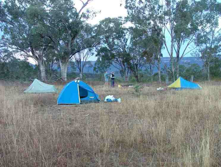
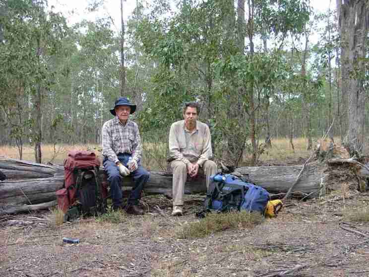
First night's camp
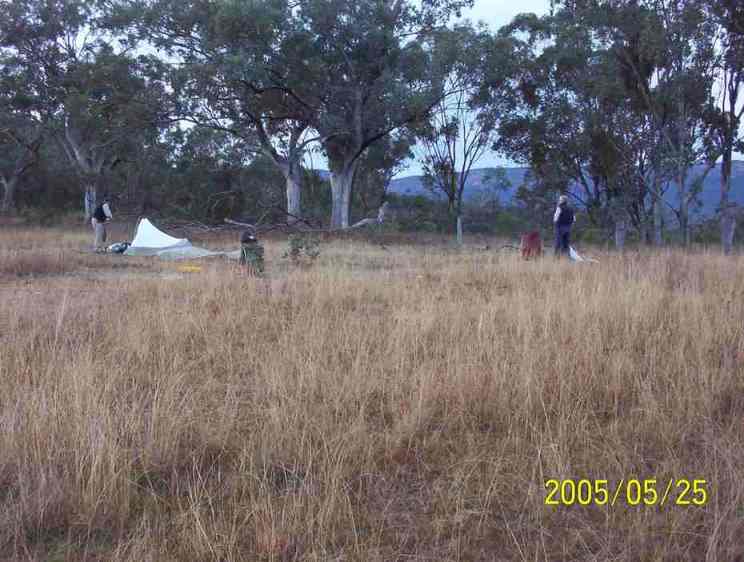
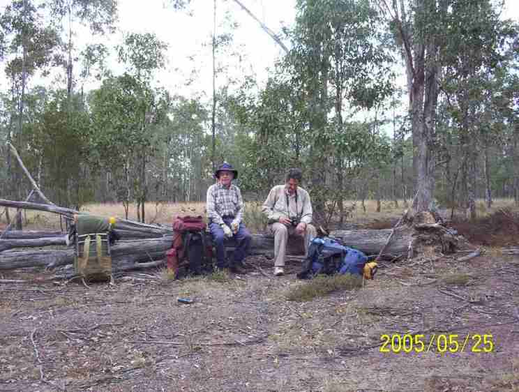
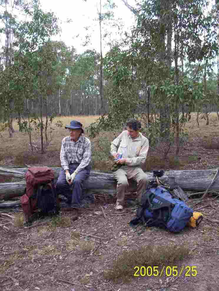
Second night's camp
Bottom of page
On a Windows computer HOME takes you to the top of the page and END goes to the last photo.
Permission for some photos on this page has been granted by Robert Sloss publications.
Buy one of Robert's books through Southern Highlands Bushwalkers or selected stores and explore the Southern Highlands and surrounds.
The dated photos are by David Hardie
This is the story of R,C,D and E and their trek from Hill Top into the
Nattai valley with the intention of crossing into the Wollondilly River valley
via the Beloon Pass corridor and thence to Yerranderie village.
Once again Joy did the honours of driving us so that we wouldn't have to
park cars at the Wattle Ridge gate for three days. . We had planned to
call at Malcom’s place at Hill Top to pick up C but I was surprised to see E
waiting there for us. I don’t know if Joy knew about this extra person but I
could imagine a very cramped trip back from Yerranderie.

Google Map of our trek.
The map is interactive and you can zoom and pan to see terrain details.
Most position markers contain photographs
Mapping and photos by Google MyMaps. Imagery by TerraMetrics and others acknowledged within the map. Track data generated with OziExplorer.
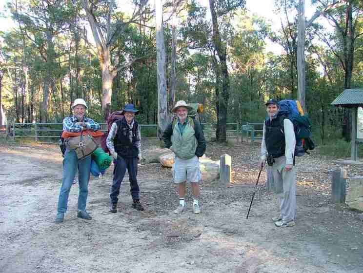
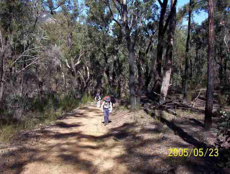
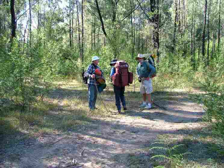
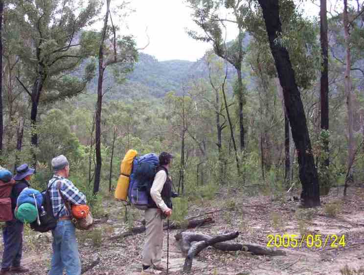
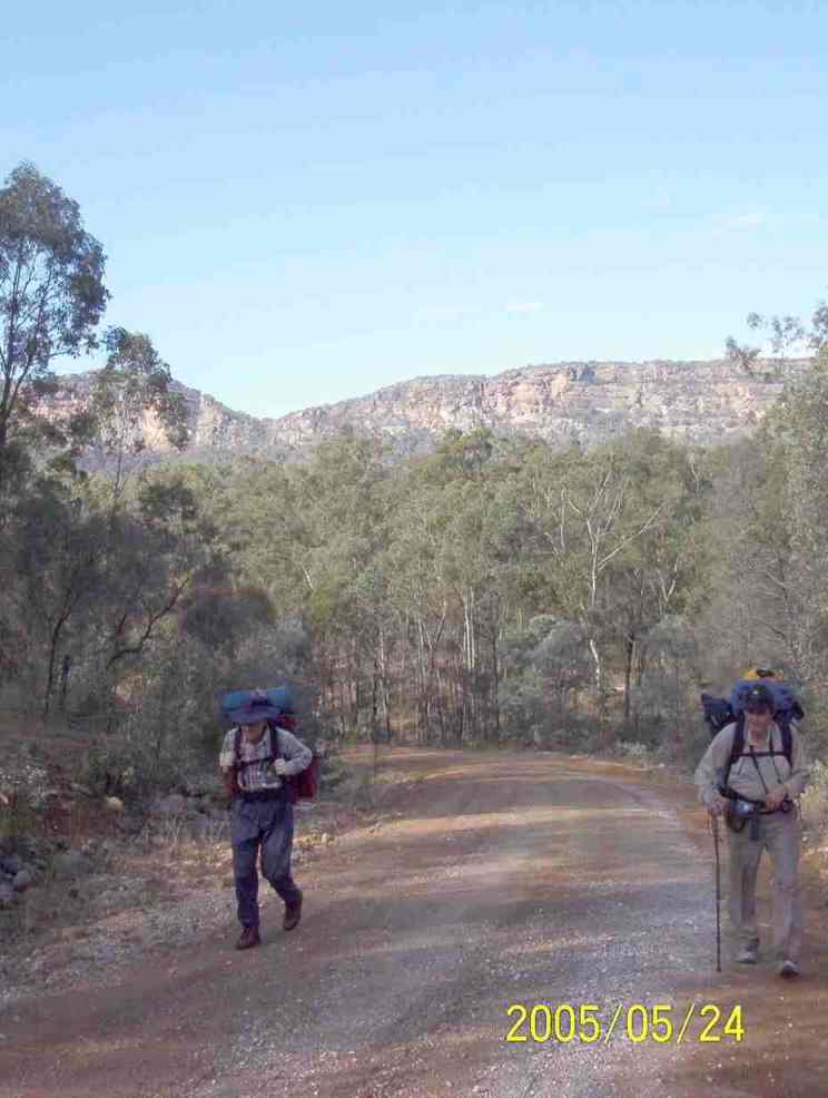
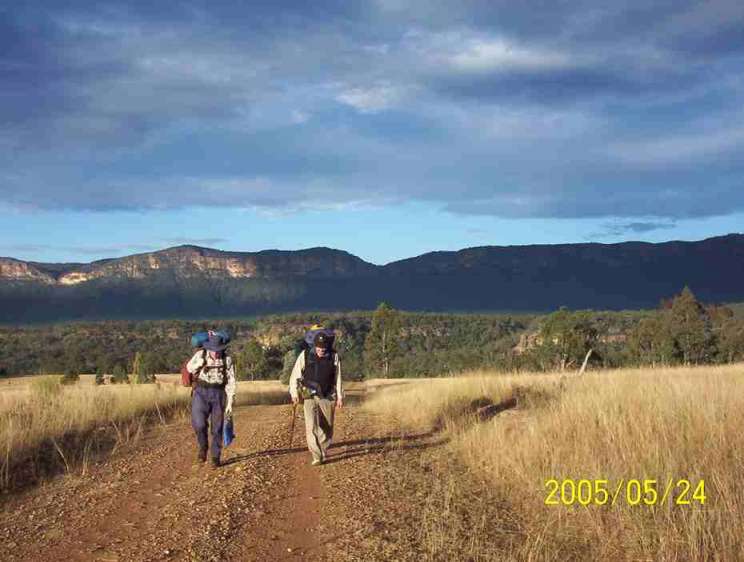
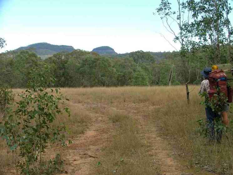
The participants ready to go. Note the Volleys worn by D Since the manufacture of Volleys was moved to China the last and the sole composition was changed and the best bushwalking shoes ever made are now history.
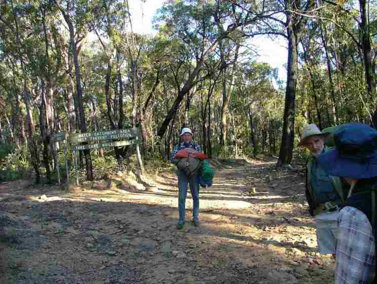
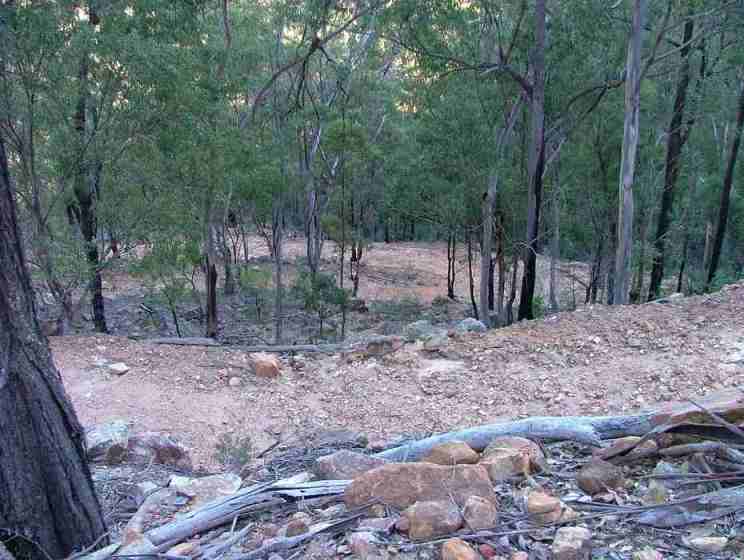
This is the turnoff to Starlight’s Trail from Nattai Road (fire trail W11E).
Before the 1995 plan of management with the Sydney Water Catchment authority we
were able to drive our 2WD vehicles to the Starlights track head as well as the
turnoff to Troys Creek where a former landowner had bulldozed a track down to
Emmetts Flat. Today, we are not even allowed to ride a bicycle on this
perfectly good gravel road. The current maps don’t even show that a road exists
here.
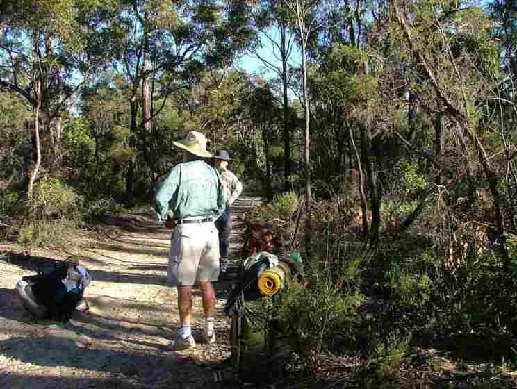
A pause on the sandy section of W11E. Maybe it’s time for a banana or other
light refreshment.
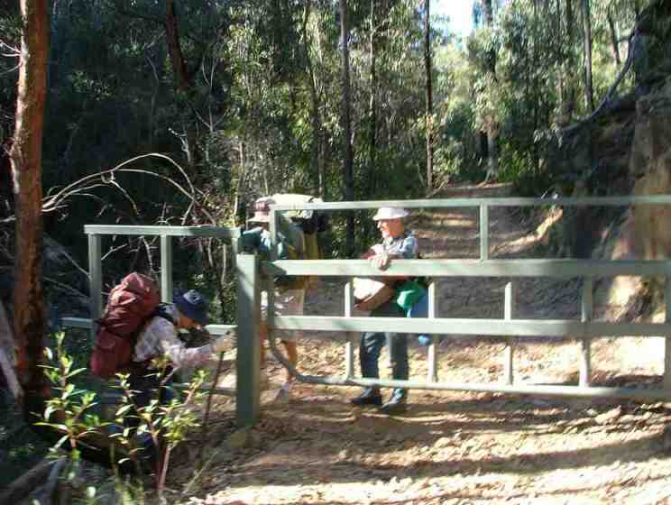
At the start of the descent into the Nattai is a gate designed to keep
motorbikes at bay. It is almost good enough to stop bushwalkers. I know that
bicycles can be loaded over this gate because I was called out on an SES search
for two youths who had not returned home one night from a cycling trip and when
they turned up they had gone past Smallwoods crossing and had come up either
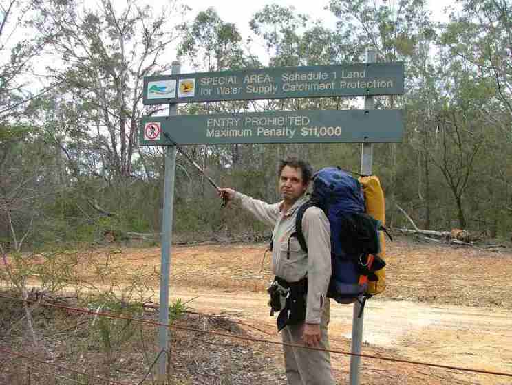
Sheehys Creek Road or Blue Gum Creek. Either way, they had been in Schedule 1
land where individuals are liable to a fine of up to $11,000.
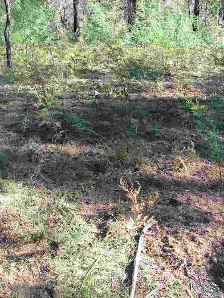
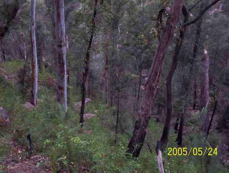
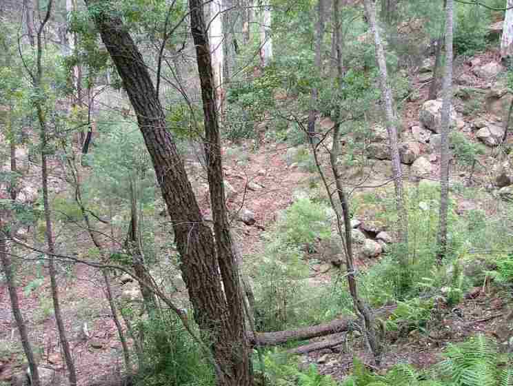
Lush regrowth either side of the road.
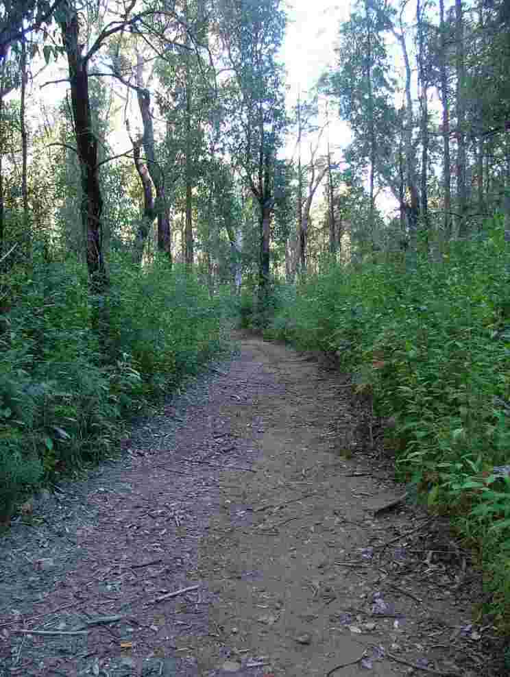
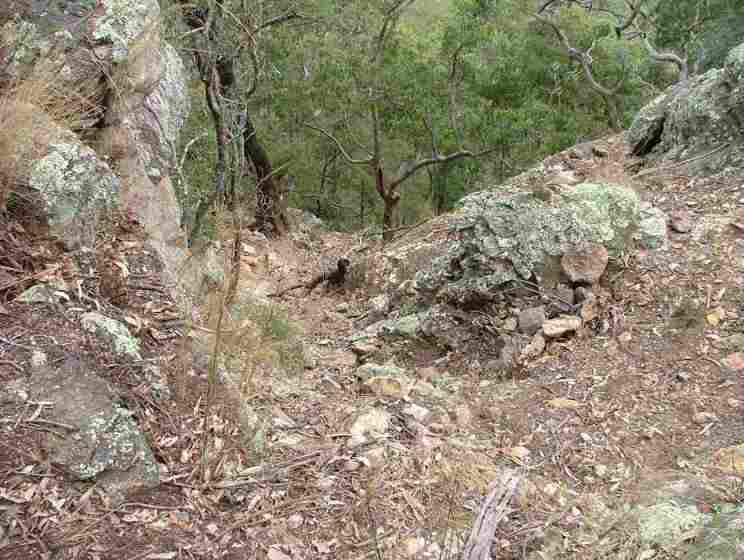
A break before crossing the creek on the way down to the break in the cliff
line. On the left is the old corduroy bridge made from laying felled trees
across the creek. I am not aware of any other corduroy bridges remaining in
this area. The remains of a corduroy bridge from Scroggies Road Picton can
still be seen at Grid 737117 in Thirlmere Lakes National Park. The timbers from
this bridge were dumped in this small lake along Dry Lakes Road when the lakes
were full but now that they are very low this lake is completely dry.
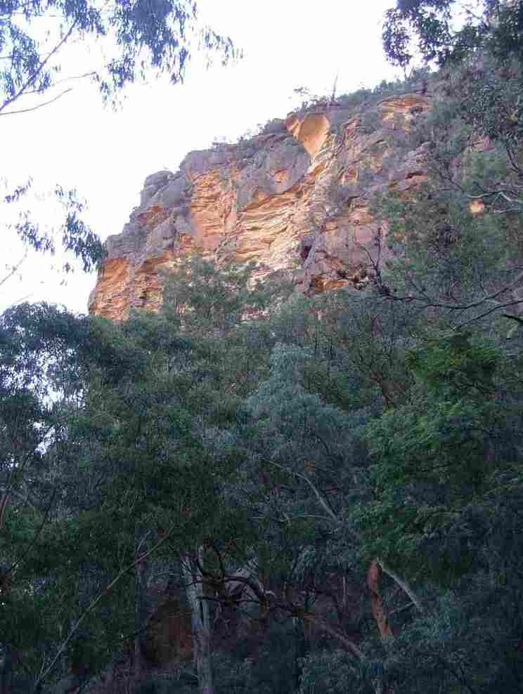
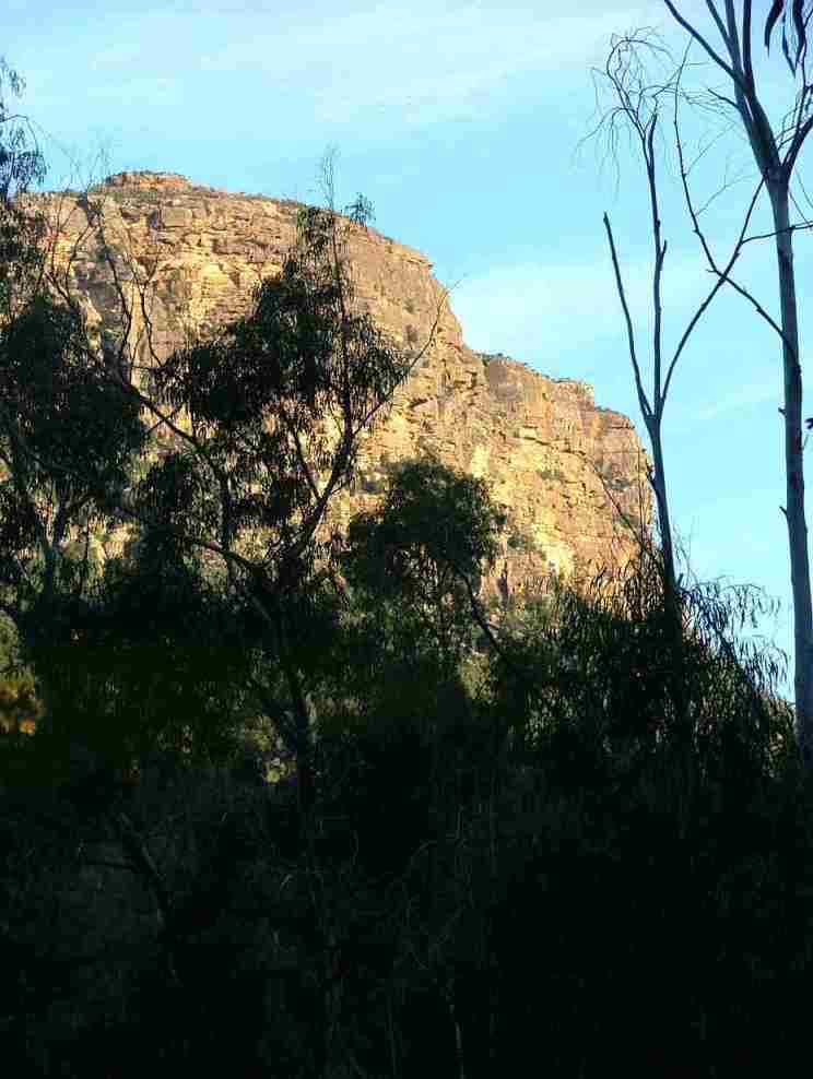
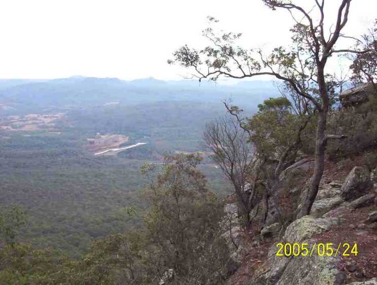
The spectacular cliffs above the road. This cliff subsequently suffered a
landslide and boulders the size of houses were strewn over the road and down the
slopes. NPWS subsequently closed the road and the road closure sign is still
displayed at Wattle Ridge car park. Jeff Sharer who owned the land at the
junction of the Allum and Nattai Rivers subsequently brought up his bulldozer,
removed the boulders, and parked the bulldozer along with an old grader under
camouflage netting near the cliff line.
This photo was taken after the landslide and shows B amongst some of the boulders.

The dozer which removed the boulders from the road was subsequently parked off the road and covered with camouflage netting.

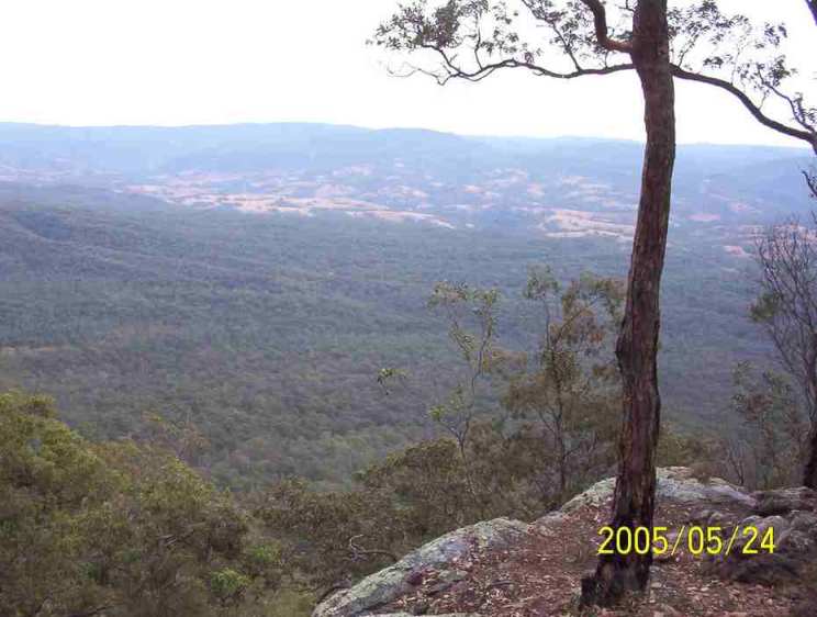
One of the hairpin bends on the road winding down into the valley.
View from the bend.
View showing the many switchbacks in the road.

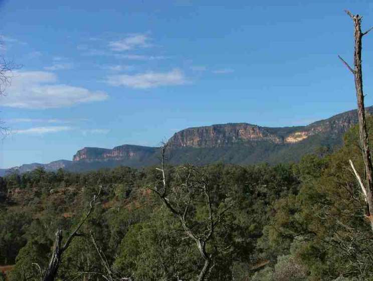
Another view towards Mount Beloon.
More switchbacks.
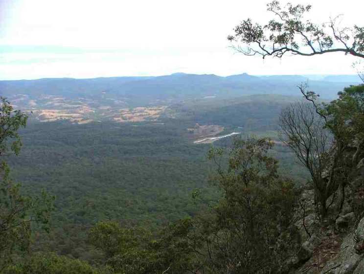
Finally down on the flat approaching Allum River.
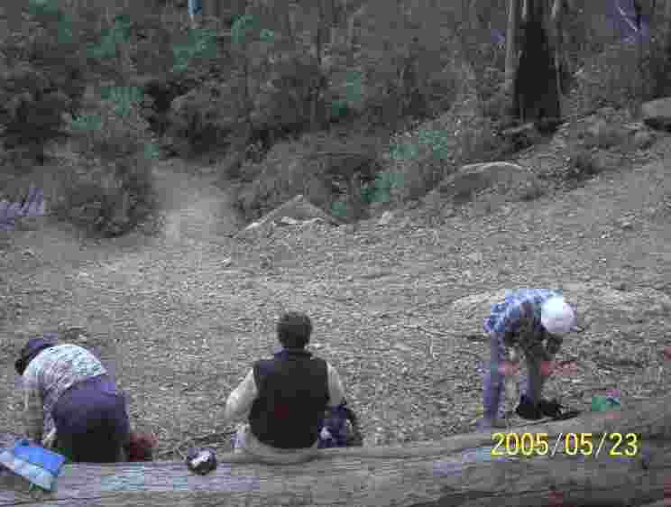
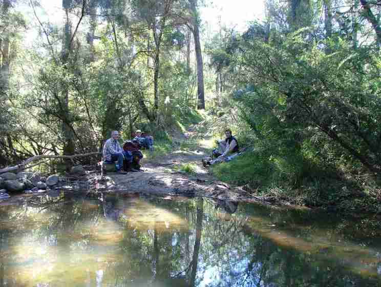
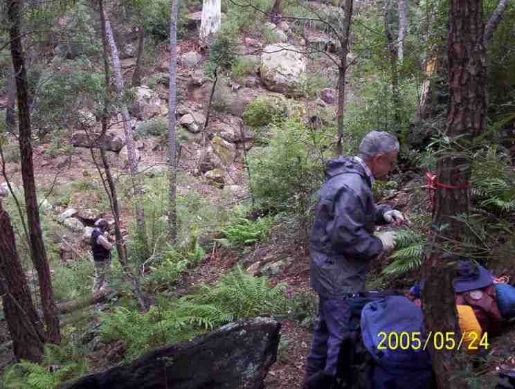
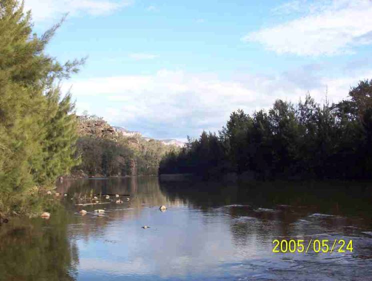
Lunch break on Nattai River near Allum River.
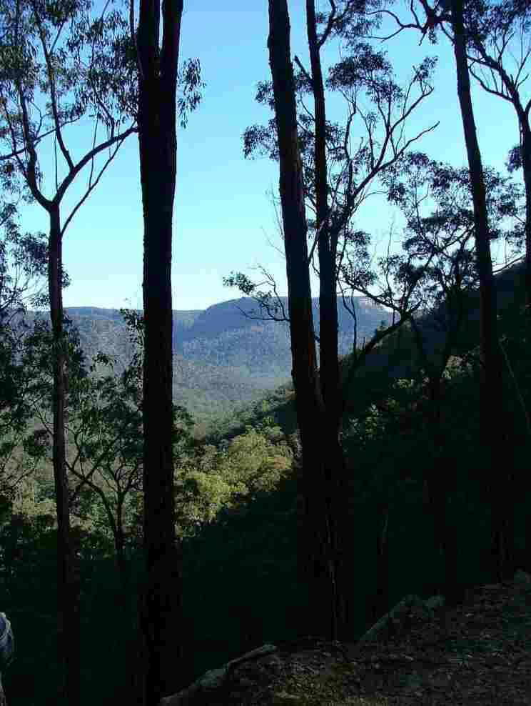
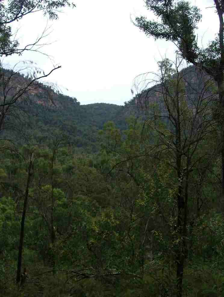
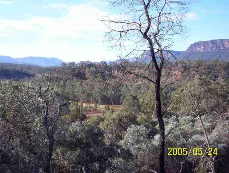
The flat at the junction of Allum River and Nattai River. There is a pass in the middle distance up to the Wanganderry Tableland and thence down the western side through the Wanganderry Walls to reach Douglas
Scarp in the Wollondilly valley. On this occasion we didn't go this way
because there is no legal corridor along Douglass Creek to reach the Yerranderie road.
Another photo near Allum River
The following photos show the clear and scrubby sections of the road approaching the crossing to the western side of the Nattai River under the West Nattai Walls. The road then stays on the western side of the river at a fairly high level until it comes back to the river at Colleys Flat.
Crossing the Nattai onto Vineyard Flat.
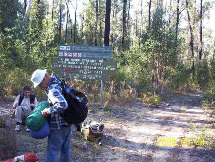
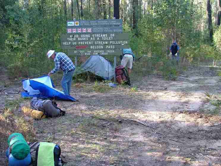
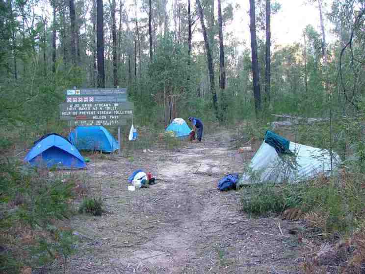
At Vineyard Flat this sign has been erected by NPWS and Sydney Water
Catchment Authority proclaiming various rules and information. This clearing is
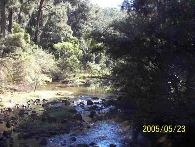
close to the river so is a good place to camp. The river water here is suitable
to drink after boiling.
 Top of page
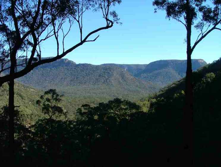
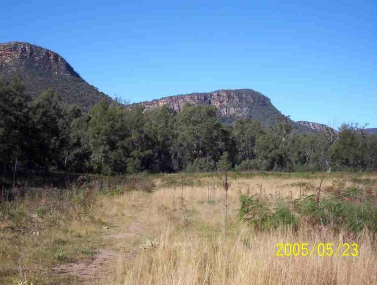
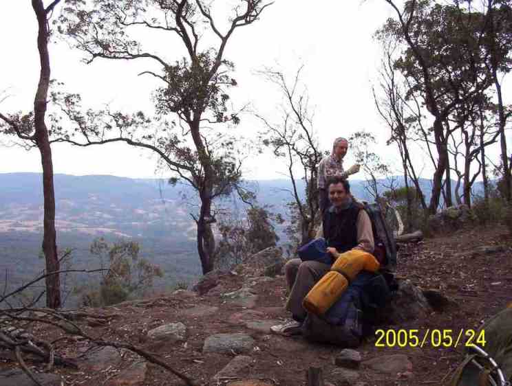
View of Grant Head from Vineyard Flat
The characteristic hill at the top of Travis Gulley. Beloon Pass is to left
of this hill.
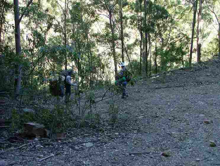
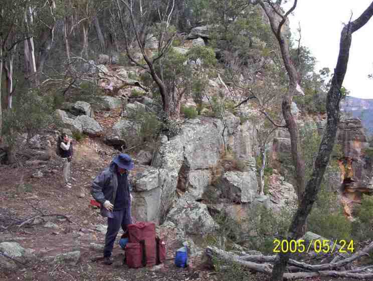
The start of the walk up Travis Gulley. At this point E realized that he
would not be able to continue because his sprained knee would severely limit his
ability to descend from Beloon Pass which is basically a negotiable cliff. He
was able to walk uphill but was severely limited on downhill sections. As this
is a remote point, not quite half way to Yerranderie it was decided that three
would press on to Yerranderie where there is a phone to call for assistance. E
returned to Vineyard Flat with strict instructions to set up camp at the turnoff
and to remain there until assistance arrived.
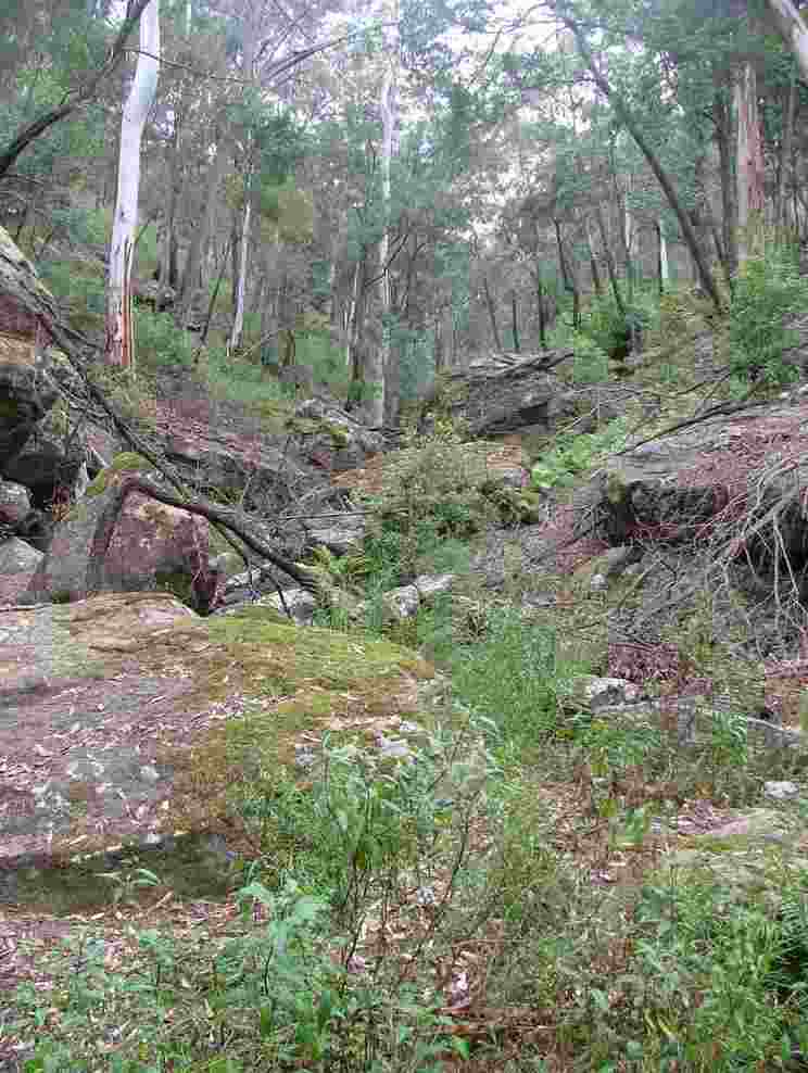
Steep terrain near the top of Travis Gulley.
The left hand branch of the creek leading up to the pass.
We stopped for refreshment at the top of the pass. Signed the visitor’s book
while building up courage to descend the seemingly impossible cliff. The book
was collected years later and I had forgotten the comment I had left:
“24 May
2005. Group of three, Hill Top to Yerranderie. Track from Vineyard Flat to
here is too vague half way up and needs defining. Had planned to camp between
here and Yerranderie but we may push through tonight.”
I was obviously
concerned about E down at Vineyard Flat on his own.
The (impossible?) way down.
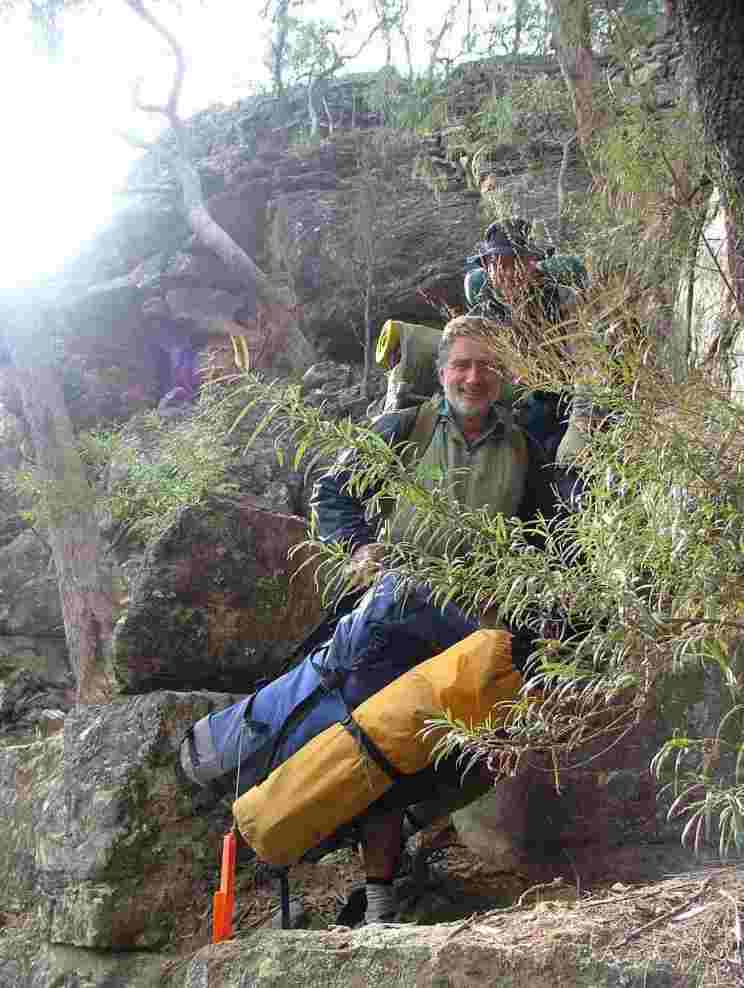
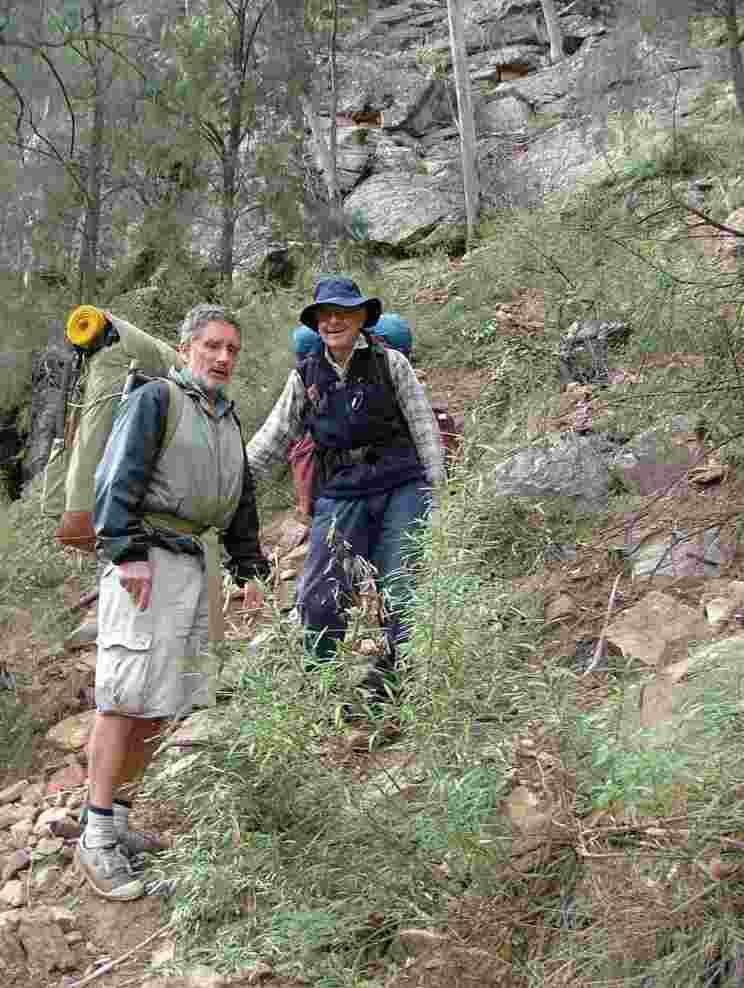
R had a bad hip and was waiting for a hip replacement at the time so D
carried R’s pack down the very steep part.
At the bottom of the very steep bit it was only just steep.
When we reached the end of the bulldozed track D tried to get a GPX fix and
promptly fell over and cracked the screen of the GPS. The moral of this mishap
is that although a GPS is a useful tool we must always have a paper map and
compass for navigation.
Back on level catchment authority road.
Looking back to Wanganderry Walls
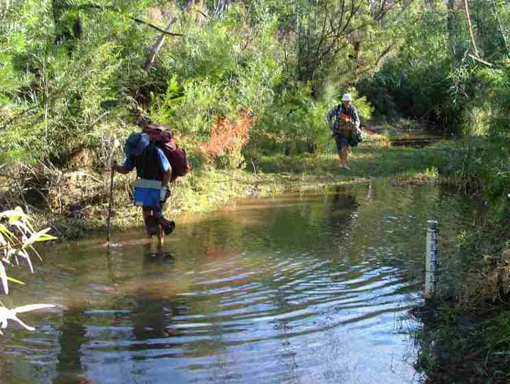
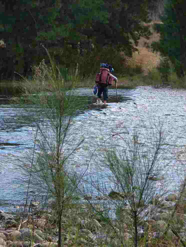
Although we were in a period of drought, the Wollondilly river was flowing
vigorously and in places was above knee height. There had been some rain in the
Shoalhaven river catchment and I assume that the pumps at Bendeela were
operating flat out to send water to Warragamba via the Wingecarribee River. D
made the mistake of removing his boots for this crossing and his feet were very
numb from the cold water. Since this time he always crosses deep water with his
boots on.
Bushwalkers are not permitted to camp in the Schedule 1 corridor so we had to
collect sufficient water at the Wollondilly River for our night’s camp and also
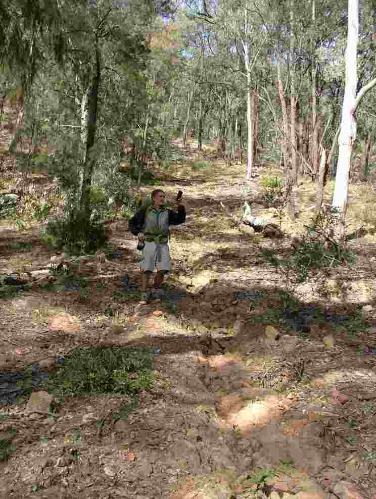
for the next morning’s walk. The walk along the boring Sheepwalk Drive carrying
the extra water was a very hard slog, especially for D who’s Volleys are not
made for walking on the coarse gravel, and R who’s failing hip seemed to
indicate that he kept going on will power alone. We would normally have been
able to reach the dams at Twin Peaks Station but the delay this morning plus our
disabilities meant that we had no hope of reaching that objective.
Bonnum Pic from The Sheepwalk.
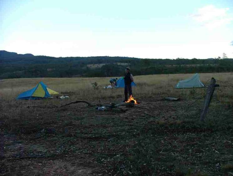
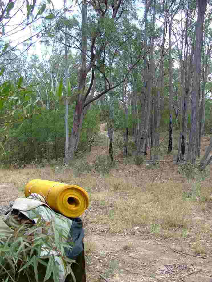
Setting up camp in the evening with a cooking fire already lit. At the end
of May, D always carries lamb chops for three night's meals. In summer they only
last for two nights and they are suspiciously green on the third night.
 Top of page
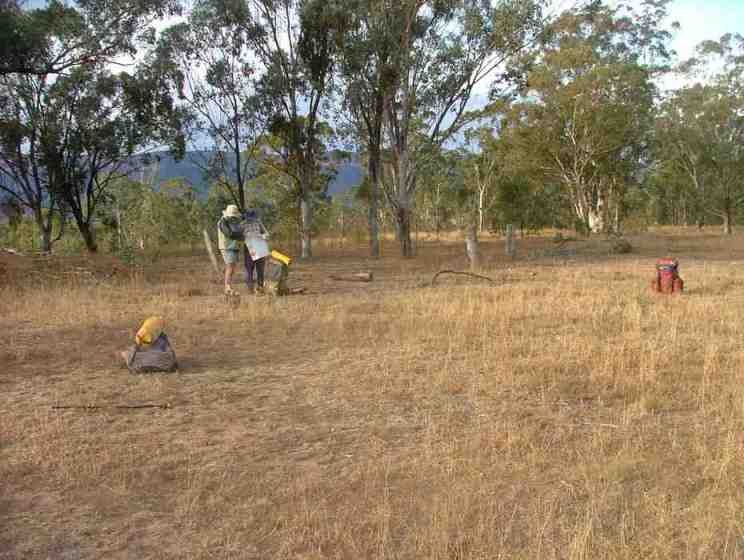
The next morning we were woken by a chorus of wattle birds in the trees and
it was a very pleasant accompaniment to our breakfast and breaking camp.
Checking the map before moving on.
R is very distressed by this SCA sign declaring the Centre Ridge trail being
closed to walkers under the Schedule 1 rule of being within 3 kilometres above
the full supply level of the lake. The Centre Ridge trail heads due west away
from the lake whereas the Sheepwalk Drive heads towards the lake and crosses
Byrnes Creek which feeds into the lake. The Sheepwalk Drive is actually within
1.8 km of Byrnes Bay at one point.
Twin Peaks from Centre Ridge trail.
R is still grumpy when we stopped for morning tea well within Schedule 2 land.
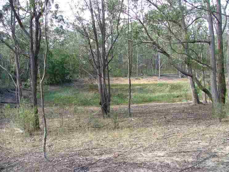
A dam with good water near Twin Peaks.
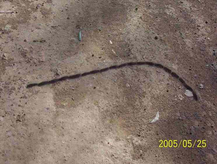
A procession of caterpillars on the road into Yerranderie.
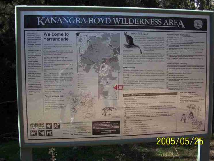
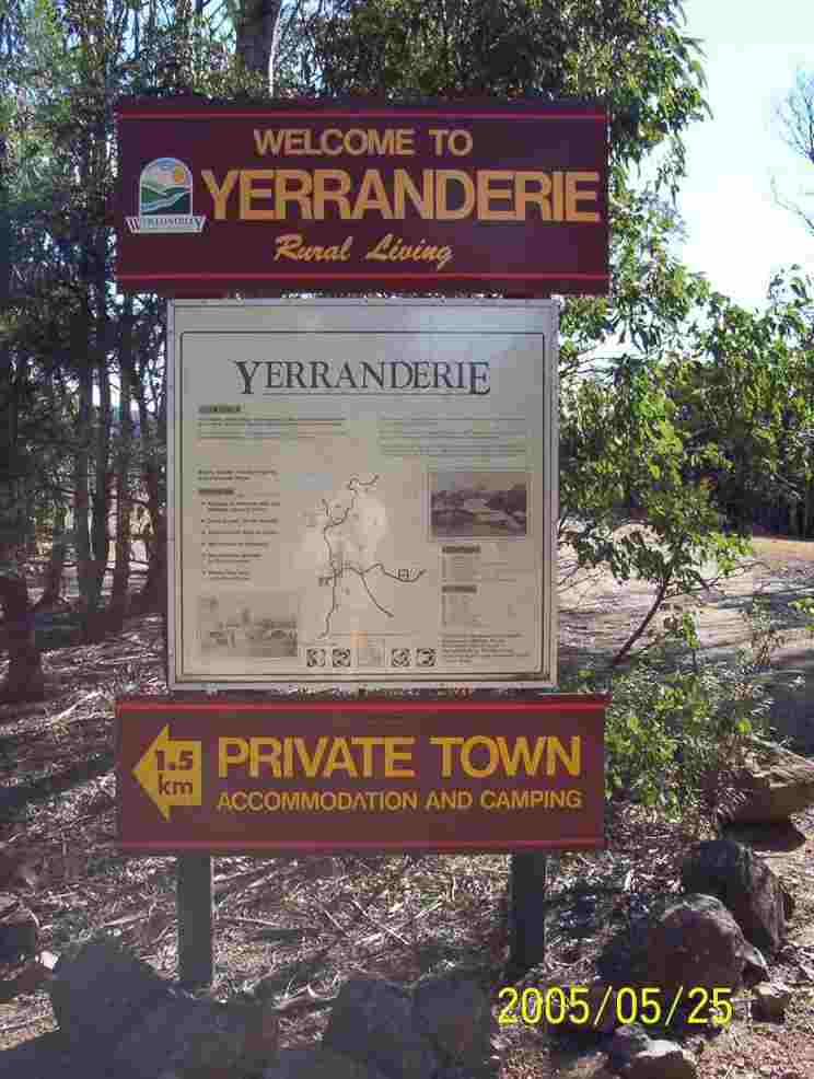
Welcoming signs to Yerranderie.
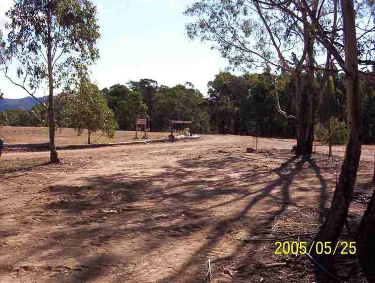
Yerranderie landing strip.
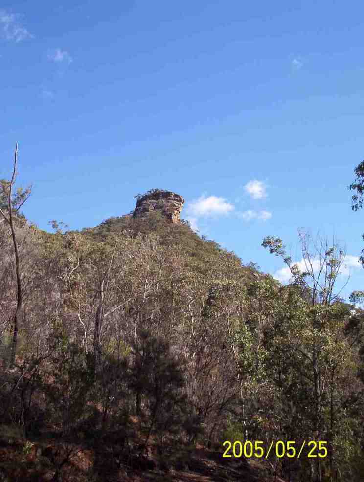
Bartlett Head near Yerranderie Peak.
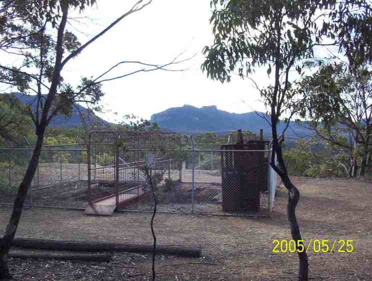
Old mine shaft with Byrnes Gap in the background.
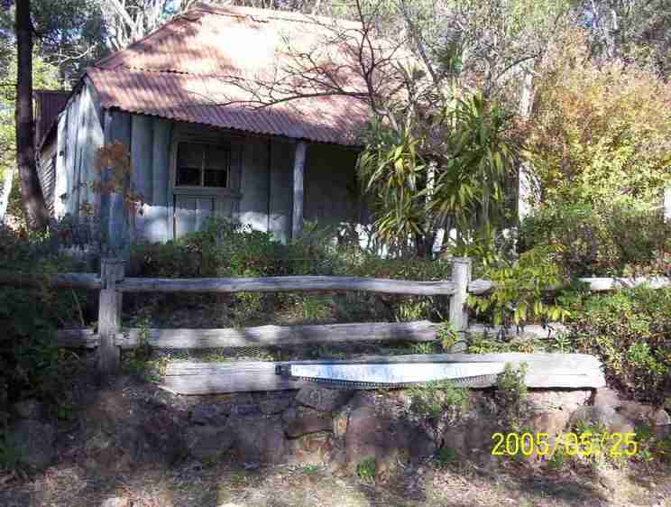
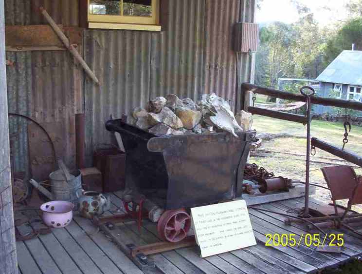
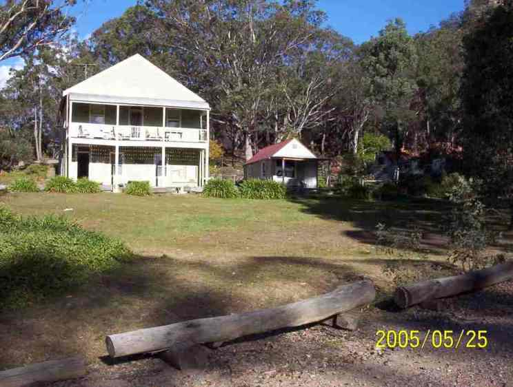
Old Yerranderie buildings.
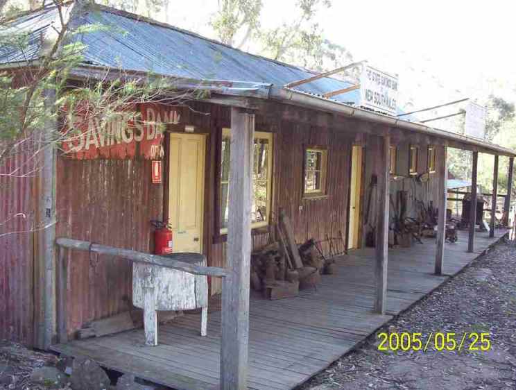
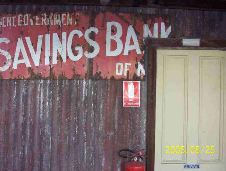
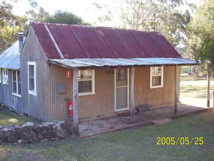
Old Post Office which was Val Lhuedé’s headquarters.
The first thing we did on arrival at Yerranderie was head to the post office where R knew he could phone for help for E who was still at Vineyard Flat with an injured knee. R phoned Malcolm who arranged with National Parks and Wildlife to effect the rescue. They claimed that they couldn’t get a rescue vehicle to Vineyard Flat so a helicopter rescue was organised.
E had done the right thing by staying on location because he had had a number of offers from illegal trail bikers who offered to take him out.
From memory I believe that Joy came out to Yerranderie to bring the walkers back home. The round trip from Thirlmere is 560 km which indicates her great dedication to the Southern Highlands Bushwalkers.
Top of page
First night camp
Second night camp